
Iran Expands Satellite Cooperation as Lithium Deposit Mapping Advances
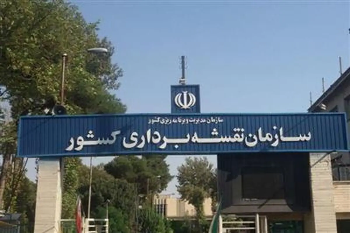
The head of Iran’s National Cartographic Center said the country has successfully mapped its mineral zones, including lithium deposits, stressing that the locations of strategic reserves remain classified while cooperation with several Asian countries continues in satellite imaging and geospatial technologies.
Iran has completed the mapping of its mineral zones, including strategic and rare mineral resources such as lithium, with the locations of such deposits remaining confidential, according to the head of the National Cartographic Center.
Speaking to ILNA, Eskandar Seydaei said responsibilities in the mining sector have been divided among relevant government agencies, with the Ministry of Industry, Mine and Trade serving as the lead authority. He noted, however, that the ministry works closely with the National Cartographic Center in preparing maps and zoning plans for mineral resources.
“The Ministry of Industry, Mine and Trade is the principal body responsible for this area, but it draws on the expertise and data of the National Cartographic Center,” Seydaei said. “There is close cooperation between the two institutions in producing maps and defining mineral zones.”
He emphasized that the National Cartographic Center is not the sole producer of mining-zone maps, but plays a key role in surveying and cartographic activities that support mineral exploration and resource assessment.
Referring specifically to lithium deposits, Seydaei said Iran possesses accurate mapping data and is not facing any challenges related to identifying or locating lithium reserves.
“The locations of these deposits have been mapped in a classified manner,” he said. “We do not face any shortage of mapping data or information regarding the location of lithium mines in the country.”
Seydaei also highlighted Iran’s international cooperation in satellite imaging, saying the country maintains joint projects with China and Russia and has defined areas of cooperation with Japan, South Korea and India.
“We mainly receive satellite data from these countries,” he said, noting that advanced imaging capabilities enable the collection of highly frequent and detailed observations of the Earth’s surface.
He stressed that accurate data and information form the foundation of effective planning, particularly in the mining sector.
“If we do not know what mineral resources exist, where they are located, and what scale they have, we cannot develop an effective strategy for utilizing them,” he said.
The official added that Iran has also begun purchasing required equipment from partner countries and revealed that the country’s first cartographic satellite was launched into space several months before the outbreak of the recent war.